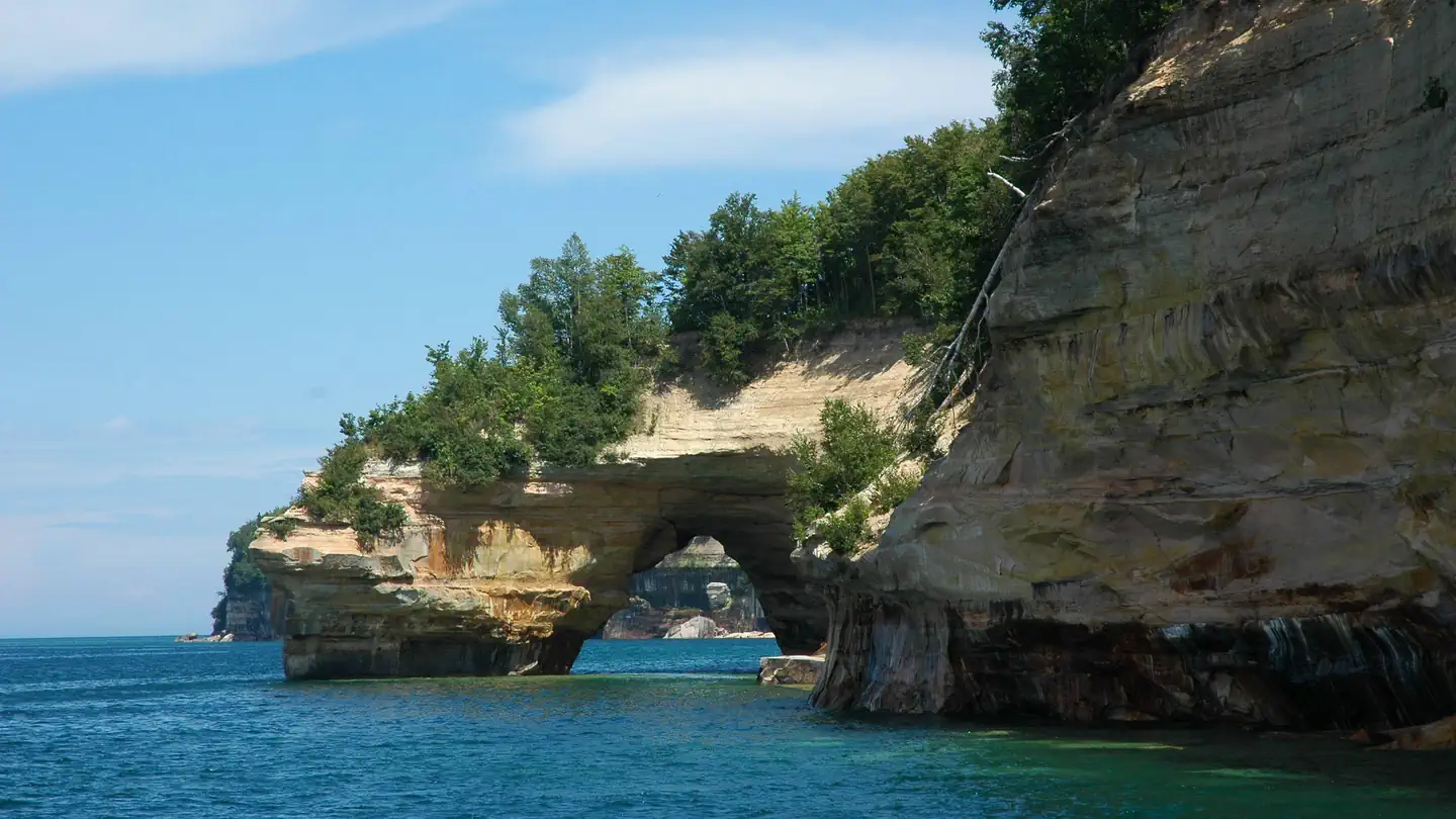
Pictured Rocks – Backcountry Sites
Pictured Rocks – Backcountry Sites gives Michigan campers a no-frills camping area. Backcountry tent camping along Pictured Rocks corridor (where designated). Permits required. Elevation is around 650 ft, so plan for the temperature swing that comes with it. Plan to pack out all of your trash. No water source is listed, so bring all you'll need. Expect moderate access; plan your vehicle accordingly. GPS: 46.57, -86.32.
About Pictured Rocks – Backcountry Sites
Pictured Rocks – Backcountry Sites is listed on Camping in the USA as a free dispersed camping area in Michigan. Its listed GPS coordinates are 46.5700, -86.3200. The listed elevation is about 650 feet.
At Pictured Rocks – Backcountry Sites, access is rated moderate, overall difficulty is rated moderate and cell service is reported as poor.
No facilities or drinking water are listed for Pictured Rocks – Backcountry Sites, so arrive self-sufficient.
Best seasons listed for Pictured Rocks – Backcountry Sites: Spring and Fall.
Within 50 miles there are 4 other listings in our directory (2 dispersed, 2 paid); the closest is Bay Furnace, about 20.5 miles away in a straight line.
Know before you go
- Dispersed sites are first-come, first-served: use an existing cleared spot and follow posted stay limits.
- Check the local land manager for fire restrictions, closures and permits before heading to Pictured Rocks – Backcountry Sites.
- Bring all drinking water, plus extra for cooking and cleanup.
- With poor cell service reported, download offline maps and leave your plans with someone.
- If Pictured Rocks – Backcountry Sites is full, the nearest listed alternatives are Bay Furnace and Autrain Lake.
- This listing says to pack out all waste.
Frequently asked questions
Is Pictured Rocks – Backcountry Sites free?
Pictured Rocks – Backcountry Sites is listed as free dispersed camping. Confirm current regulations with the local land manager.
Where is Pictured Rocks – Backcountry Sites?
Pictured Rocks – Backcountry Sites is in Michigan at GPS 46.5700, -86.3200. The nearest other listing is Bay Furnace (about 20.5 miles).
Is there water at Pictured Rocks – Backcountry Sites?
No water source is listed, so plan to bring your own drinking water.
Is there cell service at Pictured Rocks – Backcountry Sites?
Cell service is reported as poor. Coverage varies by carrier.
Are there other campsites near Pictured Rocks – Backcountry Sites?
Yes. Our directory lists 4 other campsites within 50 miles, including Bay Furnace (20.5 mi), Autrain Lake (27.5 mi) and Hiawatha – Lake Superior Shore Dispersed (32.7 mi).
Listing details can change; distances are straight-line. Confirm conditions before you go.
More free camping near Pictured Rocks – Backcountry Sites
The 8 closest listings in Michigan, by straight-line distance.
- Bay FurnacePaid campground20.5 mi
- Autrain LakePaid campground27.5 mi
- Hiawatha – Lake Superior Shore DispersedFree dispersed camping32.7 mi
- Hiawatha – Big Knob FS 2253Free dispersed camping39 mi
- Hiawatha NF – Rapid RiverFree dispersed camping57.2 mi
- Bay ViewPaid campground73.7 mi
- Brevort LakePaid campground75.2 mi
- Keweenaw – Backroads DispersedFree dispersed camping103.6 mi