Mt. Shasta – Everitt Memorial Hwy Spurs
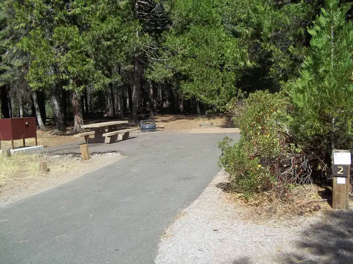
Mt. Shasta – Everitt Memorial Hwy Spurs gives California campers a no-frills place to camp. Shasta – Everitt Memorial Hwy Spurs in California. Subalpine fir and lava flows with informal pullouts and some level clearings near Sand Flat/Panther Meadows. Primitive conditions with no hookups or trash service. Snow early season. Haul in your own water; none is listed here. GPS: 41.327, -122.31.
About Mt. Shasta – Everitt Memorial Hwy Spurs
Mt. Shasta – Everitt Memorial Hwy Spurs is listed on Camping in the USA as a free dispersed camping area in California. Its listed GPS coordinates are 41.3270, -122.3100.
At Mt. Shasta – Everitt Memorial Hwy Spurs, access is rated moderate, overall difficulty is rated moderate and cell service is reported as poor.
No facilities or drinking water are listed for Mt. Shasta – Everitt Memorial Hwy Spurs, so arrive self-sufficient.
Within 50 miles there are 2 other listings in our directory (2 dispersed, 0 paid); the closest is Castle Lake Road Spurs, about 7.5 miles away in a straight line.
Know before you go
- Dispersed sites are first-come, first-served: use an existing cleared spot and follow posted stay limits.
- Check the local land manager for fire restrictions, closures and permits before heading to Mt. Shasta – Everitt Memorial Hwy Spurs.
- Bring all drinking water, plus extra for cooking and cleanup.
- With poor cell service reported, download offline maps and leave your plans with someone.
- Roads may be rough: a high-clearance vehicle is recommended, especially after rain.
- If Mt. Shasta – Everitt Memorial Hwy Spurs is full, the nearest listed alternatives are Castle Lake Road Spurs and Trinity Alps – Forest Road 38 vicinity.
Frequently asked questions
Is Mt. Shasta – Everitt Memorial Hwy Spurs free?
Mt. Shasta – Everitt Memorial Hwy Spurs is listed as free dispersed camping. Confirm current regulations with the local land manager.
Where is Mt. Shasta – Everitt Memorial Hwy Spurs?
Mt. Shasta – Everitt Memorial Hwy Spurs is in California at GPS 41.3270, -122.3100. The nearest other listing is Castle Lake Road Spurs (about 7.5 miles).
Is there water at Mt. Shasta – Everitt Memorial Hwy Spurs?
No water source is listed, so plan to bring your own drinking water.
Is there cell service at Mt. Shasta – Everitt Memorial Hwy Spurs?
Cell service is reported as poor. Coverage varies by carrier.
Are there other campsites near Mt. Shasta – Everitt Memorial Hwy Spurs?
Yes. Our directory lists 2 other campsites within 50 miles, including Castle Lake Road Spurs (7.5 mi), Trinity Alps – Forest Road 38 vicinity (38.3 mi) and Junction City (56.1 mi).
Listing details can change; distances are straight-line. Confirm conditions before you go.
More free camping near Mt. Shasta – Everitt Memorial Hwy Spurs
The 8 closest listings in California, by straight-line distance.
- Castle Lake Road SpursFree dispersed camping7.5 mi
- Trinity Alps – Forest Road 38 vicinityFree dispersed camping38.3 mi
- Junction CityFree dispersed camping56.1 mi
- Douglas CityFree dispersed camping57.7 mi
- Fort Goff CampgroundFree dispersed camping61.5 mi
- Bogard CampgroundFree dispersed camping81.9 mi
- Modoc Plateau BackroadsFree dispersed camping85.3 mi
- Smith River NRA BackroadsFree dispersed camping88.5 mi