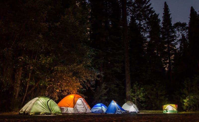
House Rock Valley Rd (BLM)
House Rock Valley Road is a maintained dirt road through the Bureau of Land Management's Vermilion Cliffs National Monument in northern Arizona, running between US 89A and the Utah line along the base of the Vermilion Cliffs and Paria Plateau. The BLM allows dispersed camping outside the wilderness in previously disturbed spots along the road; follow posted closures and Arizona's limit of 14 days in any 28-day period. Use existing sites and pack out all waste. The road can become impassable when wet, so check conditions; high-clearance 4WD is recommended. Stateline Campground on the road is a free developed option with vault toilets but no water or hookups. Ground elevation at the listed GPS point is about 6,890 ft (USGS).
About House Rock Valley Rd (BLM)
House Rock Valley Rd (BLM) is listed on Camping in the USA as a free dispersed camping area in Arizona on land managed by the Bureau of Land Management (BLM). Its listed GPS coordinates are 36.7800, -111.9200. The listed elevation is about 6,890 feet.
At House Rock Valley Rd (BLM), access is rated moderate, overall difficulty is rated moderate and cell service is reported as poor.
No facilities or drinking water are listed for House Rock Valley Rd (BLM), so arrive self-sufficient.
Best seasons listed for House Rock Valley Rd (BLM): Spring and Fall.
Within 50 miles there are 11 other listings in our directory (11 dispersed, 0 paid); the closest is Paria Canyon / Buckskin Gulch vicinity (outside permit area), about 7 miles away in a straight line.
Know before you go
- Dispersed sites are first-come, first-served: use an existing cleared spot and follow posted stay limits.
- Check the Bureau of Land Management (BLM) for fire restrictions, closures and permits before heading to House Rock Valley Rd (BLM).
- Bring all drinking water, plus extra for cooking and cleanup.
- With poor cell service reported, download offline maps and leave your plans with someone.
- If House Rock Valley Rd (BLM) is full, the nearest listed alternatives are Paria Canyon / Buckskin Gulch vicinity (outside permit area) and Soap Creek Rd – Lees Ferry vicinity.
- This listing says to pack out all waste.
Frequently asked questions
Is House Rock Valley Rd (BLM) free?
House Rock Valley Rd (BLM) is listed as free dispersed camping. Confirm current regulations with the Bureau of Land Management (BLM).
Where is House Rock Valley Rd (BLM)?
House Rock Valley Rd (BLM) is in Arizona at GPS 36.7800, -111.9200. The nearest other listing is Paria Canyon / Buckskin Gulch vicinity (outside permit area) (about 7 miles).
Is there water at House Rock Valley Rd (BLM)?
No water source is listed, so plan to bring your own drinking water.
Is there cell service at House Rock Valley Rd (BLM)?
Cell service is reported as poor. Coverage varies by carrier.
Are there other campsites near House Rock Valley Rd (BLM)?
Yes. Our directory lists 11 other campsites within 50 miles, including Paria Canyon / Buckskin Gulch vicinity (outside permit area) (7 mi), Soap Creek Rd – Lees Ferry vicinity (15.7 mi) and Kaibab Plateau – Jacob Lake Spurs (16.3 mi).
Listing details can change; distances are straight-line. Confirm conditions before you go.
More free camping near House Rock Valley Rd (BLM)
The 8 closest listings in Arizona, by straight-line distance.
- Paria Canyon / Buckskin Gulch vicinity (outside permit area)Free dispersed camping7 mi
- Soap Creek Rd – Lees Ferry vicinityFree dispersed camping15.7 mi
- Kaibab Plateau – Jacob Lake SpursFree dispersed camping16.3 mi
- White Pocket vicinity (outside Vermilion Cliffs)Free dispersed camping17.3 mi
- North Kaibab FR 22/425Free dispersed camping23.2 mi
- Kaibab NF – FR 22/611 North Rim approachFree dispersed camping27 mi
- Kaibab NF – North Rim forest roads outside parkFree dispersed camping30.6 mi
- Grand Canyon – Forest Road 688 CorridorFree dispersed camping58.6 mi