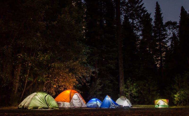
Desoto Falls
Desoto Falls Recreation Area is a U.S. Forest Service campground in the Chattahoochee National Forest of north Georgia, set along Frogtown Creek at about 2,080 feet. Its 23 sites sit in upper and lower loops, both with creekside sites. A trail from the wooden bridge across from the host site leads to two waterfalls, 0.25 mile to the lower falls and 0.75 mile to the upper falls, and it is one of north Georgia's most popular waterfall hikes. The entrance is on US 19/129, 17 miles south of Blairsville or 18 miles north of Dahlonega. This is a fee campground.
About Desoto Falls
Desoto Falls is listed on Camping in the USA as a paid (developed) campground in Georgia on land managed by the USDA Forest Service. Its listed GPS coordinates are 34.7100, -83.9120. The listed elevation is about 2,130 feet.
At Desoto Falls, access is rated moderate and overall difficulty is rated moderate.
Facilities and drinking water at Desoto Falls are not listed in our directory, so check with the operator.
Within 50 miles there are 33 other listings in our directory (29 dispersed, 4 paid); the closest is Chattahoochee — Dicks Creek Corridor, about 1 miles away in a straight line.
Know before you go
- Confirm current fees, reservations and opening dates for Desoto Falls with the USDA Forest Service.
- Check the USDA Forest Service for fire restrictions, closures and permits before heading to Desoto Falls.
- If Desoto Falls is full, the nearest listed alternatives are Chattahoochee — Dicks Creek Corridor and Boggs Creek.
Frequently asked questions
Is Desoto Falls free?
Desoto Falls is listed as a paid campground. Fees are not listed here, so confirm current rates with the USDA Forest Service.
Where is Desoto Falls?
Desoto Falls is in Georgia at GPS 34.7100, -83.9120. The nearest other listing is Chattahoochee — Dicks Creek Corridor (about 1 miles).
Is there water at Desoto Falls?
A water source is listed. Treat or filter untreated water before drinking.
Are there other campsites near Desoto Falls?
Yes. Our directory lists 33 other campsites within 50 miles, including Chattahoochee — Dicks Creek Corridor (1 mi), Boggs Creek (1.8 mi) and Dockery Lake (4.4 mi).
Listing details can change; distances are straight-line. Confirm conditions before you go.
More free camping near Desoto Falls
The 8 closest listings in Georgia, by straight-line distance.
- Chattahoochee — Dicks Creek CorridorFree dispersed camping1 mi
- Boggs CreekPaid campground1.8 mi
- Dockery LakeFree dispersed camping4.4 mi
- Chattahoochee — Wildcat Creek RoadFree dispersed camping5.4 mi
- Chattahoochee – Cooper Creek RoadsFree dispersed camping8.1 mi
- Oconee-Chattahoochee — Lanier Mountain RoadFree dispersed camping9.1 mi
- Cooper CreekFree dispersed camping9.6 mi
- Chattahoochee — Rock Creek RoadFree dispersed camping10 mi