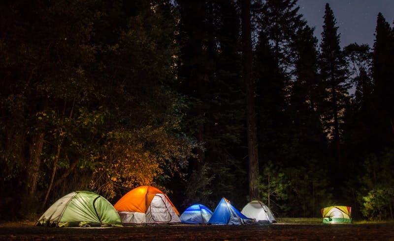
Chimney Creek
Chimney Creek is a blm campground in California, about 18.5 miles NW of Inyokern. It has approximately 36 campsites and about 5719 ft elevation. Notes: unknown facil.
About Chimney Creek
Chimney Creek is listed on Camping in the USA as a paid (developed) campground in California on land managed by the Bureau of Land Management (BLM). Its listed GPS coordinates are 35.8390, -118.0430. The listed elevation is about 5,719 feet.
At Chimney Creek, access is rated moderate and overall difficulty is rated moderate.
Facilities and drinking water at Chimney Creek are not listed in our directory, so check with the operator.
Within 50 miles there are 7 other listings in our directory (7 dispersed, 0 paid); the closest is Long Valley, about 6.6 miles away in a straight line.
Know before you go
- Confirm current fees, reservations and opening dates for Chimney Creek with the Bureau of Land Management (BLM).
- Check the Bureau of Land Management (BLM) for fire restrictions, closures and permits before heading to Chimney Creek.
- If Chimney Creek is full, the nearest listed alternatives are Long Valley and Fossil Falls.
Frequently asked questions
Is Chimney Creek free?
Chimney Creek is listed as a paid campground. Fees are not listed here, so confirm current rates with the Bureau of Land Management (BLM).
Where is Chimney Creek?
Chimney Creek is in California at GPS 35.8390, -118.0430. The nearest other listing is Long Valley (about 6.6 miles).
Is there water at Chimney Creek?
Drinking water is not listed in our directory; confirm with the operator before you go.
Are there other campsites near Chimney Creek?
Yes. Our directory lists 7 other campsites within 50 miles, including Long Valley (6.6 mi), Fossil Falls (11.7 mi) and Sherman Pass/Kern Plateau (13.4 mi).
Listing details can change; distances are straight-line. Confirm conditions before you go.
More free camping near Chimney Creek
The 8 closest listings in California, by straight-line distance.
- Long ValleyFree dispersed camping6.6 mi
- Fossil FallsFree dispersed camping11.7 mi
- Sherman Pass/Kern PlateauFree dispersed camping13.4 mi
- Dove Springs Off Hwy AreaFree dispersed camping28.7 mi
- Keyesville Rec SiteFree dispersed camping28.9 mi
- Monache Meadows Access RoadsFree dispersed camping32.9 mi
- Jawbone Canyon Off Hwy AreaFree dispersed camping36.2 mi
- Goldfield – Cerro Gordo VicinityFree dispersed camping50 mi