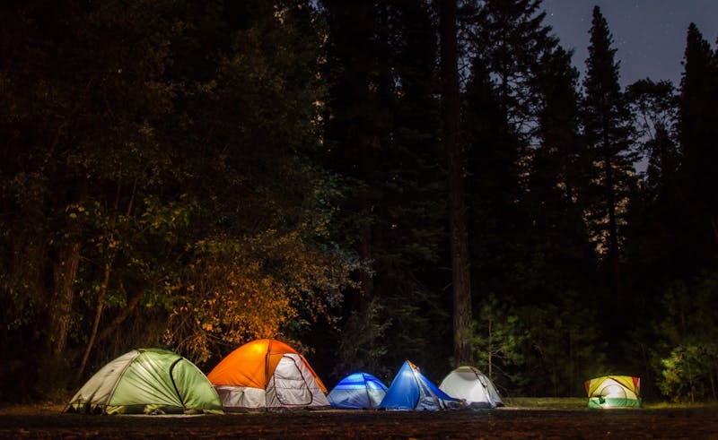
Boundary Waters – Backcountry Sites
Out in Minnesota, Boundary Waters – Backcountry Sites offers a simple backcountry camping area for self-reliant campers. Backcountry canoe-access campsites in the BWCAW (designated). Permits required; leave no trace. It sits at about 1600 feet. Carry a trash bag; everything goes home with you. No water source is listed, so bring all you'll need. Access is rated moderate, so take it slow on rough stretches. GPS: 48.05, -91.54.
About Boundary Waters – Backcountry Sites
Boundary Waters – Backcountry Sites is listed on Camping in the USA as a free dispersed camping area in Minnesota. Its listed GPS coordinates are 48.0500, -91.5400. The listed elevation is about 1,600 feet.
At Boundary Waters – Backcountry Sites, access is rated moderate, overall difficulty is rated moderate and cell service is reported as poor.
No facilities or drinking water are listed for Boundary Waters – Backcountry Sites, so arrive self-sufficient.
Best seasons listed for Boundary Waters – Backcountry Sites: Spring and Fall.
Within 50 miles there are 10 other listings in our directory (7 dispersed, 3 paid); the closest is Superior NF – Tomahawk Rd, about 10.5 miles away in a straight line.
Know before you go
- Dispersed sites are first-come, first-served: use an existing cleared spot and follow posted stay limits.
- Check the local land manager for fire restrictions, closures and permits before heading to Boundary Waters – Backcountry Sites.
- Bring all drinking water, plus extra for cooking and cleanup.
- With poor cell service reported, download offline maps and leave your plans with someone.
- If Boundary Waters – Backcountry Sites is full, the nearest listed alternatives are Superior NF – Tomahawk Rd and Superior NF – Eagle Mountain Trail Primitive.
- This listing says to pack out all waste.
Frequently asked questions
Is Boundary Waters – Backcountry Sites free?
Boundary Waters – Backcountry Sites is listed as free dispersed camping. Confirm current regulations with the local land manager.
Where is Boundary Waters – Backcountry Sites?
Boundary Waters – Backcountry Sites is in Minnesota at GPS 48.0500, -91.5400. The nearest other listing is Superior NF – Tomahawk Rd (about 10.5 miles).
Is there water at Boundary Waters – Backcountry Sites?
No water source is listed, so plan to bring your own drinking water.
Is there cell service at Boundary Waters – Backcountry Sites?
Cell service is reported as poor. Coverage varies by carrier.
Are there other campsites near Boundary Waters – Backcountry Sites?
Yes. Our directory lists 10 other campsites within 50 miles, including Superior NF – Tomahawk Rd (10.5 mi), Superior NF – Eagle Mountain Trail Primitive (12 mi) and Superior NF – Boundary Waters vicinity (14.3 mi).
Listing details can change; distances are straight-line. Confirm conditions before you go.
More free camping near Boundary Waters – Backcountry Sites
The 8 closest listings in Minnesota, by straight-line distance.
- Superior NF – Tomahawk RdFree dispersed camping10.5 mi
- Superior NF – Eagle Mountain Trail PrimitiveFree dispersed camping12 mi
- Superior NF – Boundary Waters vicinityFree dispersed camping14.3 mi
- Birch LakePaid campground23 mi
- Superior NF – Sawbill Area PrimitiveFree dispersed camping32 mi
- Superior – Sawbill Trail SpursFree dispersed camping32.2 mi
- Baker LakeFree dispersed camping36.3 mi
- Crescent LakePaid campground38.8 mi