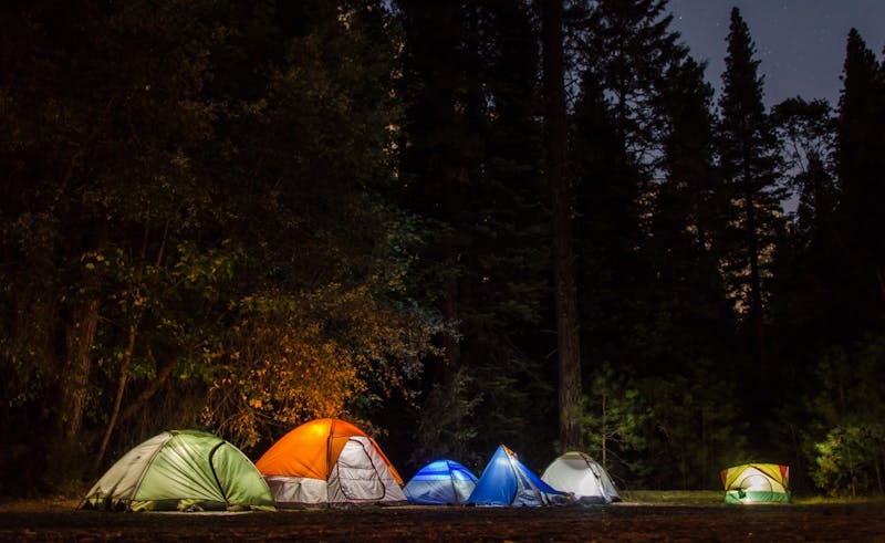
Blue Oaks
Blue Oaks is a blm campground in California, about 20.1 miles W of Williams. It has approximately 6 campsites and about 1768 ft elevation. Reported amenities include vault toilets. Notes: unknown facil.
About Blue Oaks
Blue Oaks is listed on Camping in the USA as a free dispersed camping area in California on land managed by the Bureau of Land Management (BLM). Its listed GPS coordinates are 39.0700, -122.5090. The listed elevation is about 1,768 feet.
At Blue Oaks, access is rated moderate and overall difficulty is rated moderate.
No facilities or drinking water are listed for Blue Oaks, so arrive self-sufficient.
Within 50 miles there are 3 other listings in our directory (3 dispersed, 0 paid); the closest is Lower Hunting Creek - Knoxville Rec Area, about 19.4 miles away in a straight line.
Know before you go
- Dispersed sites are first-come, first-served: use an existing cleared spot and follow posted stay limits.
- Check the Bureau of Land Management (BLM) for fire restrictions, closures and permits before heading to Blue Oaks.
- Bring all drinking water, plus extra for cooking and cleanup.
- If Blue Oaks is full, the nearest listed alternatives are Lower Hunting Creek - Knoxville Rec Area and Cow Mountain Rec Area.
Frequently asked questions
Is Blue Oaks free?
Blue Oaks is listed as free dispersed camping. Confirm current regulations with the Bureau of Land Management (BLM).
Where is Blue Oaks?
Blue Oaks is in California at GPS 39.0700, -122.5090. The nearest other listing is Lower Hunting Creek - Knoxville Rec Area (about 19.4 miles).
Is there water at Blue Oaks?
No water source is listed, so plan to bring your own drinking water.
Are there other campsites near Blue Oaks?
Yes. Our directory lists 3 other campsites within 50 miles, including Lower Hunting Creek - Knoxville Rec Area (19.4 mi), Cow Mountain Rec Area (29 mi) and Mendocino NF – M1/M10 Spine (36.6 mi).
Listing details can change; distances are straight-line. Confirm conditions before you go.
More free camping near Blue Oaks
The 8 closest listings in California, by straight-line distance.
- Lower Hunting Creek - Knoxville Rec AreaFree dispersed camping19.4 mi
- Cow Mountain Rec AreaFree dispersed camping29 mi
- Mendocino NF – M1/M10 SpineFree dispersed camping36.6 mi
- Feather Falls/Forbestown RoadsFree dispersed camping75.5 mi
- Plumas NF – Quincy La Porte RdFree dispersed camping103.2 mi
- NadelosFree dispersed camping103.3 mi
- Robinson Flat CampgroundFree dispersed camping107.8 mi
- Bowman/Meadow Lake CorridorsFree dispersed camping107.9 mi