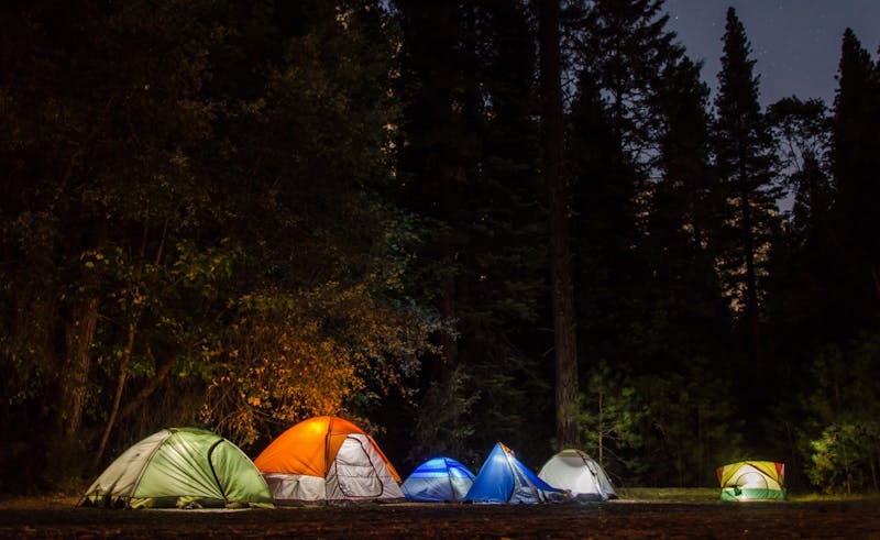
Alsea Falls
Tucked into Oregon, Alsea Falls is a campground managed by the Bureau of Land Management. The nearest town is Monroe, about 10.1 miles to the W. Haul in your own water; none is listed here. Access is rated moderate, so take it slow on rough stretches. GPS: 44.329, -123.499. Check current fire restrictions and road conditions before you go.
About Alsea Falls
Alsea Falls is listed on Camping in the USA as a free dispersed camping area in Oregon on land managed by the Bureau of Land Management (BLM). Its listed GPS coordinates are 44.3290, -123.4990.
At Alsea Falls, access is rated moderate and overall difficulty is rated moderate.
No facilities or drinking water are listed for Alsea Falls, so arrive self-sufficient.
No other listings in our directory are within 50 miles of Alsea Falls; the nearest is McKenzie – Deer Creek FS 2654, about 58.7 miles away.
Know before you go
- Dispersed sites are first-come, first-served: use an existing cleared spot and follow posted stay limits.
- Check the Bureau of Land Management (BLM) for fire restrictions, closures and permits before heading to Alsea Falls.
- Bring all drinking water, plus extra for cooking and cleanup.
- Other listed campsites are far away, so have a backup plan before you lose daylight.
Frequently asked questions
Is Alsea Falls free?
Alsea Falls is listed as free dispersed camping. Confirm current regulations with the Bureau of Land Management (BLM).
Where is Alsea Falls?
Alsea Falls is in Oregon at GPS 44.3290, -123.4990. The nearest other listing is McKenzie – Deer Creek FS 2654 (about 58.7 miles).
Is there water at Alsea Falls?
No water source is listed, so plan to bring your own drinking water.
Listing details can change; distances are straight-line. Confirm conditions before you go.
More free camping near Alsea Falls
The 8 closest listings in Oregon, by straight-line distance.
- McKenzie – Deer Creek FS 2654Free dispersed camping58.7 mi
- Alder GlenFree dispersed camping64.9 mi
- Umpqua – Steamboat Creek RoadsFree dispersed camping74.1 mi
- Santiam Pass – NF 11/12 RoadsFree dispersed camping78.5 mi
- Cavitt Creek Falls - North Umpqua River RAFree dispersed camping81.6 mi
- Bear CreekFree dispersed camping94.9 mi
- Rogue – Union Creek VicinityFree dispersed camping110.7 mi
- Mt. Hood – Lolo Pass FS 18Free dispersed camping113.1 mi